As usual, I am awake early (I wonder what it is like to actually "sleep in"!!) Oh well, I will get to see the sun rise over the red sandstone cliffs today.
We moved yesterday and are now sitting in a very picturesque area along Kane Creek Road. Because we could not "fit" in any of the campgrounds, we stayed in a huge staging area where folks unload their bikes, ATVs or whatever, to access the trails in this area. As I look out the windows this morning, I am surrounded by huge, high cliffs. At the base of them flows the Colorado River. There are still leaves on the trees along the river but they are starting to turn yellow.
Today we are headed towards Hurrah Pass trail, Chicken Corners Trail, Jackson Loop Trail and if time permits, Kane Creek Canyon Trail. It sounds like a lot but they are all in the same general direction.
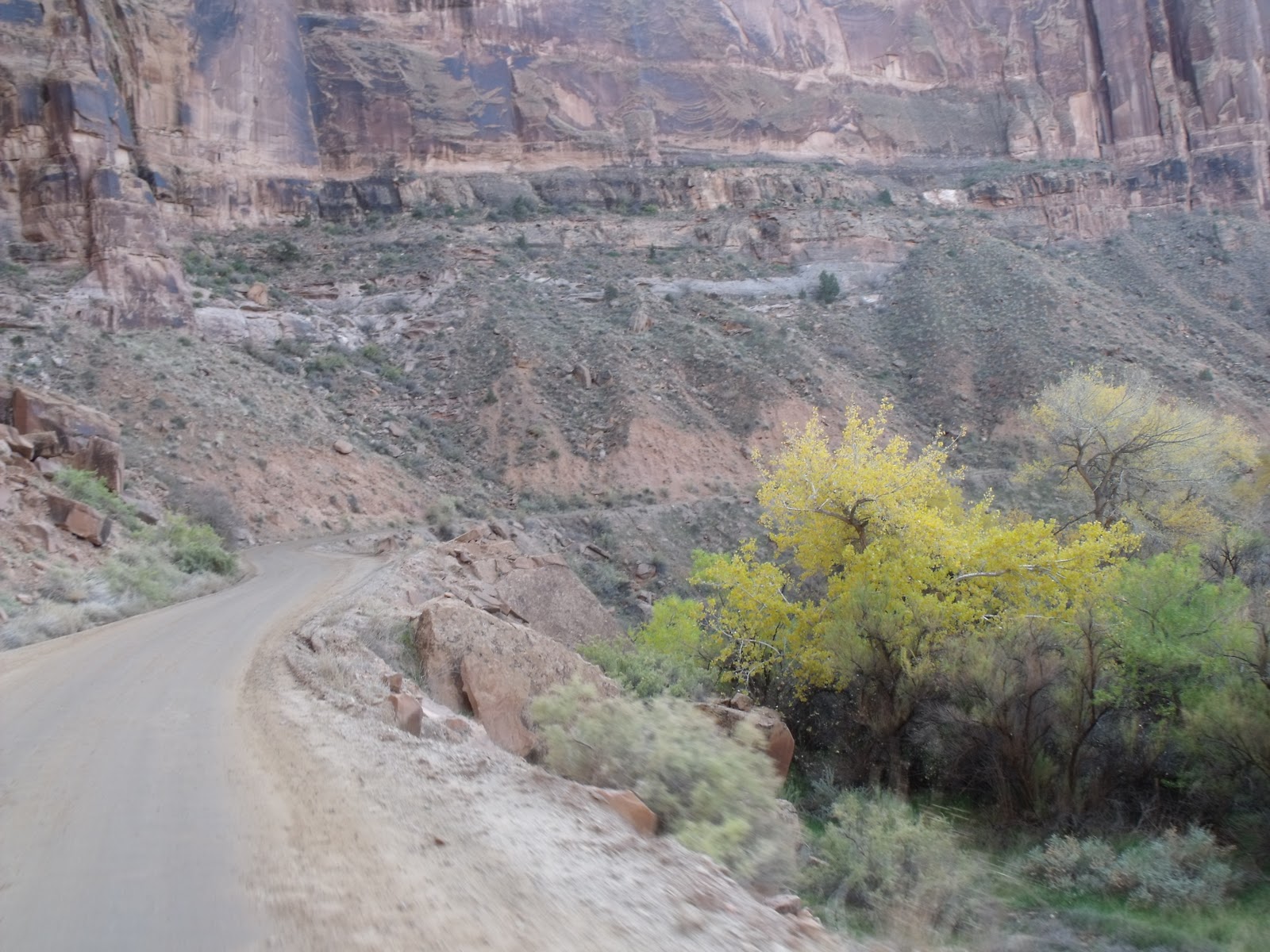
We left the bus and started on my favorite kind of trail - shelf road!! It was a wide trail and regular sized vehicles have plenty of room to pass each other if need be. I still don't like these types of roads and of course the "shelf" had to be on our side of the road!! It sure was a long way down!! We came to a tight figure 8 switchback (as you can see from the pic) and that was not my favorite part of this road - Gosh, we haven't even got to the trails yet!! This is supposed to be the "good' part of the road!! I may need the "Four Powers" riding with me today!!
Hurrah Pass, a six mile pass, considered "easy" as to the degree of difficulty, is a trail consisting of partly graded dirt, partly packed sediment, slickrock and rocky rubble. Believe me, there was plenty of rocky rubble and I found the trail rather rough. This trail climbs the rocky strata of the anticline which, is a large upward bulge in the earth's crust that deforms sedimentary strata that would otherwise be level. Hurrah Pass is very nearly directly above the summit of the bulge. The trail offers incredible views down into a colorful gorge and shows unique erosional patterns on the rocks. Once we reached the summit (4700 feet) we descended the anticline and headed toward the Colorado River bluffs and on to Chicken Corners Trail.
Chicken Corners Trail, also considered an "easy" trail travels the colorful, remote rimlands (yea, a fancy word for shelf trail!!) of the Colorado River gorge. It offers incredible views down into the river gorge and many picture perfect scenes. At the end of this trail is "chicken corners", a short, rather hazardous stretch of trail that many preferred to walk across as opposed to ride. Apparently, this portion of the trail was once more hazardous than it is today. At the very end of the trail, a horse trail continues but is very badly eroded and very hazardous and it no longer recommended for use. As you can see by the pics, it looks rather dangerous and really, who wants to fall a million miles down into the Colorado River!! Time for me to get the hell out of Dodge!!
On our way back to Hurrah Pass, we met four other quadders who were looking for some old Moki Ruins and we had just happened to stop a short distance from them so we went and checked them out. The petroglyphs were faint but you could still see them fairly well. I took pics and they turned out rather well - even the heard of goats!!. There were also a set of stairs carved out of the rocks in this area. Apparently the Moki tribe kept their grains stored up on the rock face in some sort of granary to keep it out of harms way and away from animals.
Once back at the summit of Hurrah Pass, we descended back into the "lowlands" to access the Jackson Hole Trail. This trail was considered a "moderate" trail as to degree of difficulty however I certainly did not feel it really warranted this rating however, I do not believe we completed the whole trail as we never really did see "Jackson Hole" which is supposedly some sort of "natural" feature. We did however continue on the trail that traveled up a shallow sand and slickrock wash to eventually climb out to wend a bumpy path through the great masses of ancient river bottom deposits left by the Colorado River when it abandoned this immense ring-shaped meander. The trail completely circled a high column of rock in the center of the "rincon" (which is a Spanish word meaning "corner" or "nook" commonly applied to a loop shaped canyon left when an entrenched river or stream abandons one of its meanders). The trail is a spur and we eventually ended back to the main Hurrah pass trail. From here, it was a short ride to the start of Kane Creek Canyon Trail.
The Kane Creek Trail is considered a "moderate" trail for difficulty and since we entered from the Hurrah Pass end, we encountered only a few areas of challenging trail. This included skirting a few massive boulders that had fallen from the cliffs above and a few steep, off camber washes. We only did a few miles of this trail as it was getting late and time to head back to the bus. This is a trail that would be worth attempting again when we can actually spend several hours and get the 13 miles completed. According to the books, it can be rather adventurous and I am sure that it will be added to the "to do" list.
We loaded the quad and the jeep into the trailer so that doesn't have to be done tomorrow. We can just wake up and leave. This area is done for this year.
 |
| Getting ready to head out |
 |
| Heading to Hurrah Pass |
 |
shelf road switchbacks - my favorite!!
|
 |
| miles of rock and sand |
 |
| Looks like a bird |
 |
| Now to Chicken Corners |
 |
| Colorado River |
 |
| La Sal Mountains in the background |
 |
| Such a long way down |
 |
| This is Chicken Corners - That's a horse trail around there! |
 |
No vehicles, Really!! Once around this ledge, the trails widens out. I am
not brave enough to go see!! |
 |
| Time to head back down |
 |
| Rock Pillars |
 |
| Checking out a Cliff Dwelling |
 |
| mountain goats - pictographs |
 |
| Stairs going up - to where the grain was stored. |
 |
| Old truck, must have got caught in a flash flood |
 |
| Trail through Black Rock Canyon |
 |
| looks extra terrestrial |
 |
| See why it's called that |
 |
| This is how they lay pipe line here - all on top and straight up the cliff |
 |
| One of several balanced rocks |
 |
| different rock formations around every turn |
 |
| Did some of Kane Creek Trail |
 |
| Kane Creek |
 |
| They would be envious of our cows |
 |
| Kane Creek Canyon - surrounded by massive walls of sandstone |
 |
Desert Varnish - the thin red -black coating found on exposed rock in arid regions.
Manganese rich varnish is black. Manganese poor varnish is red to orange. |
 |
| Sun going down on the cliffs |
 |
| Another great ride! |
 |
Time to head back to the Bus
|


No comments:
Post a Comment